TELRAAM sensors
Early adopters of low-cost, open source, ‘citizen science’ approach to traffic data collection.
The challenge
Urban areas face significant challenges in managing traffic flow, reducing congestion, and improving road safety. Traditional traffic and active travel monitoring methods require significant financial investment. They may lack the granularity and real-time data needed for effective decision-making, with data stored in proprietary data platforms. Cities require a more efficient and accurate way to monitor traffic patterns and make data-driven improvements.
The solution
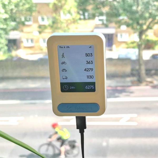
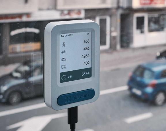
TELRAAM introduced an innovative traffic counter system that uses advanced sensors and data analytics to provide comprehensive traffic monitoring. TELRAAM designed the system to be easily installed on existing infrastructure, offering real-time data on:
- vehicle counts
- speeds
- types (heavy vehicles, cars, bikes, pedestrians)
This data is accessible through a user-friendly platform.

TELRAAM low-cost sensors are placed inside a window to monitor traffic and active travel (pedestrians and cyclists) on the street outside. Individuals or organisations can purchase them, and the data is available to the public as part of an open-source data platform.
There is a sensor on New Road, Oxford. View the data from this sensor.

These sensors allow residents to understand what is happening "on their street". They support a global shift towards citizen science and enable the general public to contribute to wider research efforts.
We have led local efforts to build an early-adopter network of TELRAAM sensors across the region. Engagement with local communities and stakeholders has led to the installation of TELRAAM sensors in:
- county council properties
- town council properties
- resident's houses
Oxfordshire County Council uses the data to enable data-driven decision-making across the authority. The data from our array of traffic sensors enables them to measure the key metrics relevant to:
The results
Organisations have used traffic sensor data to support the monitoring and evaluation of partnership projects including:
The data will support major future projects such as the Oxford Traffic Filters Programme.